Following the Digital Footprints of Armenian Heritage
Every heritage site carries a story, and not all of it can be seen at first glance. Sometimes it survives in the smallest architectural detail, in the marks left by time, or in the landscape that has surrounded a monument for centuries.
At Armenian Treasures, our work is to preserve that story in digital form as well.
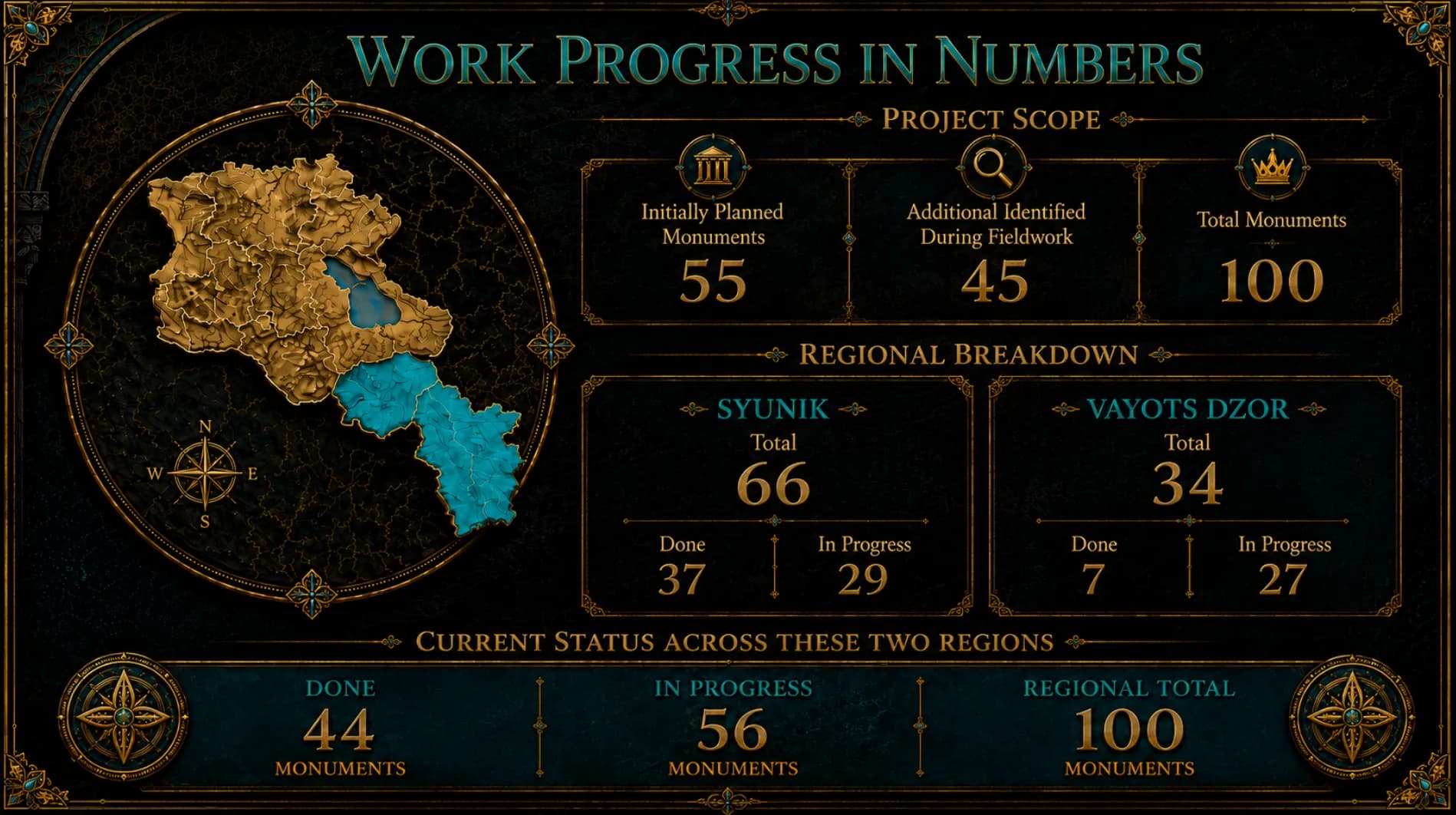
Our growing digital archive now includes 58 heritage records. These are more than photographs or database entries. Each record brings together information, imagery and documentation that gradually builds a digital history of the site.
So far, 52 LiDAR scans have been completed, with 6 more currently in progress. LiDAR allows us to capture a monument with remarkable precision, recording its geometry, scale and even subtle details that may be difficult to detect in an ordinary photograph.
At the same time, 26 drone photogrammetry surveys have been completed, while 32 more are underway. Aerial documentation offers another perspective: it reveals not only the monument itself, but also the landscape, roads and surrounding environment that form part of its story.
When these technologies come together, a heritage site becomes more than a photograph or a point on a map. It becomes a multilayered digital record that can later support 3D models, virtual visits, research and educational materials.
- 58 heritage records.
- 52 completed LiDAR scans.
- 26 completed drone photogrammetry surveys.
The numbers will continue to grow. But behind every number is a detail preserved, a place documented more precisely and another part of Armenian heritage carried into the digital future.